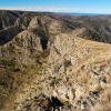
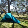
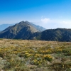
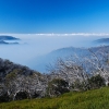
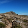
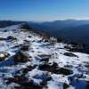
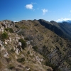
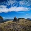
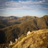
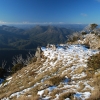
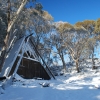
Here are some photos from around Mt Howitt in Victoria's Alpine National Park. I usually do photo galleries around a particular hike or route but there are a lot of different bush walks involving Mt Howitt. So here is a selection in no particular order with no particular theme other than being near Mt Howitt. I would really recommend this area as a good place to do a hike. You can drive to Howitt Car Park in a two wheel drive car (although the road is unsealed can be very slow and bumpy some years). It's a great starting point for beginners and the experienced alike because you have so many different bush walks to choose from. You can just walk to nearby Vallejo Gantner Hut and camp there and then do Mt Howitt and surrounds as day walks.
Or you can do something harder like the Viking Circuit I describe in an article you can read here. Or the The Howqua River - Mt McDonald – Mt Howitt circuit I describe here.
North, east, west or south, there are good walks on track and off all around Mt Howitt. Ones that are easy and some that are very difficult.
But just remember that bad weather, snow and blizzards can happen at any time of the year. So be prepared! Another thing you should keep in mind is that some maps of the area show foot tracks (and even some of the old four wheel drive tracks) that can not really be seen on the ground any more. Well travelled tracks like the Alpine Track are mostly well maintained but a lot of the lesser used tracks are mostly notional. The intense bush fires of the past few years, followed by intense rains of the following winter - or snow melt, have wiped out a lot of the traces of old tracks. So it can be easy to lose your way. The thick scrubby regrowth after bush fires can make travel and navigation very difficult and problematic.


